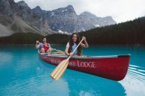
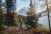

6 min read 9 of the Most Unusual Places to Stay in Canada are in Alberta
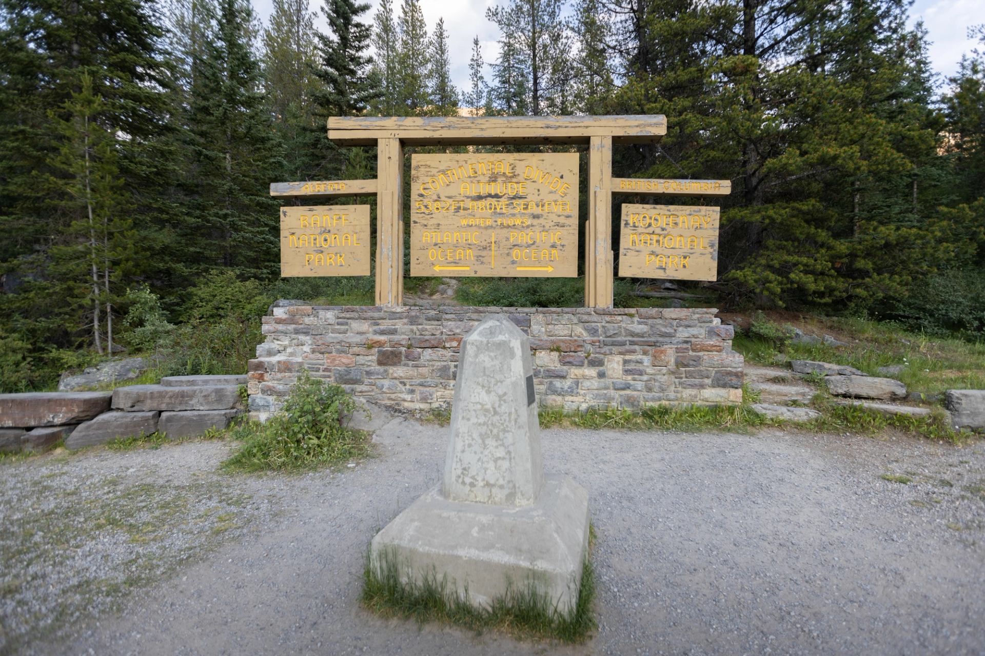
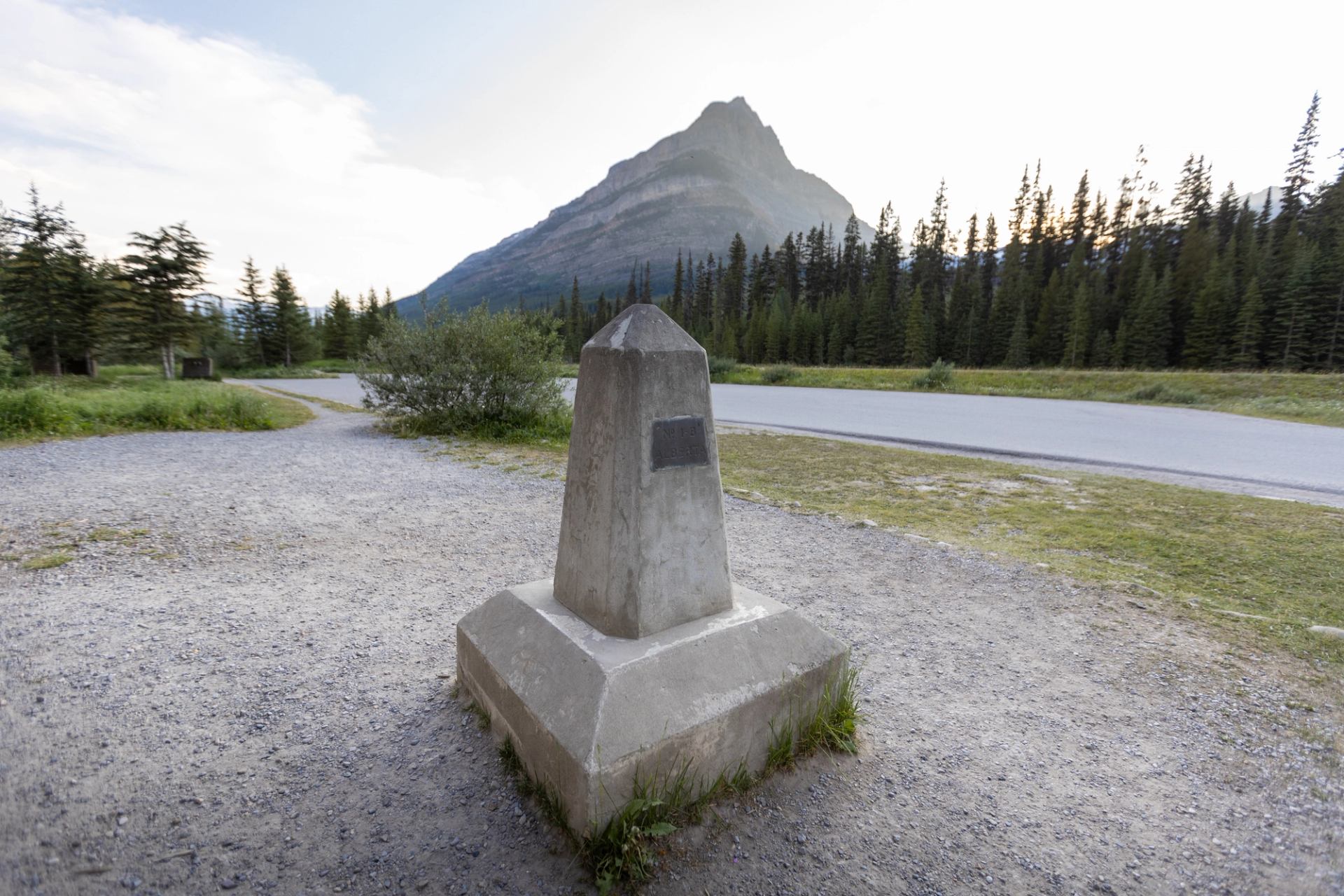
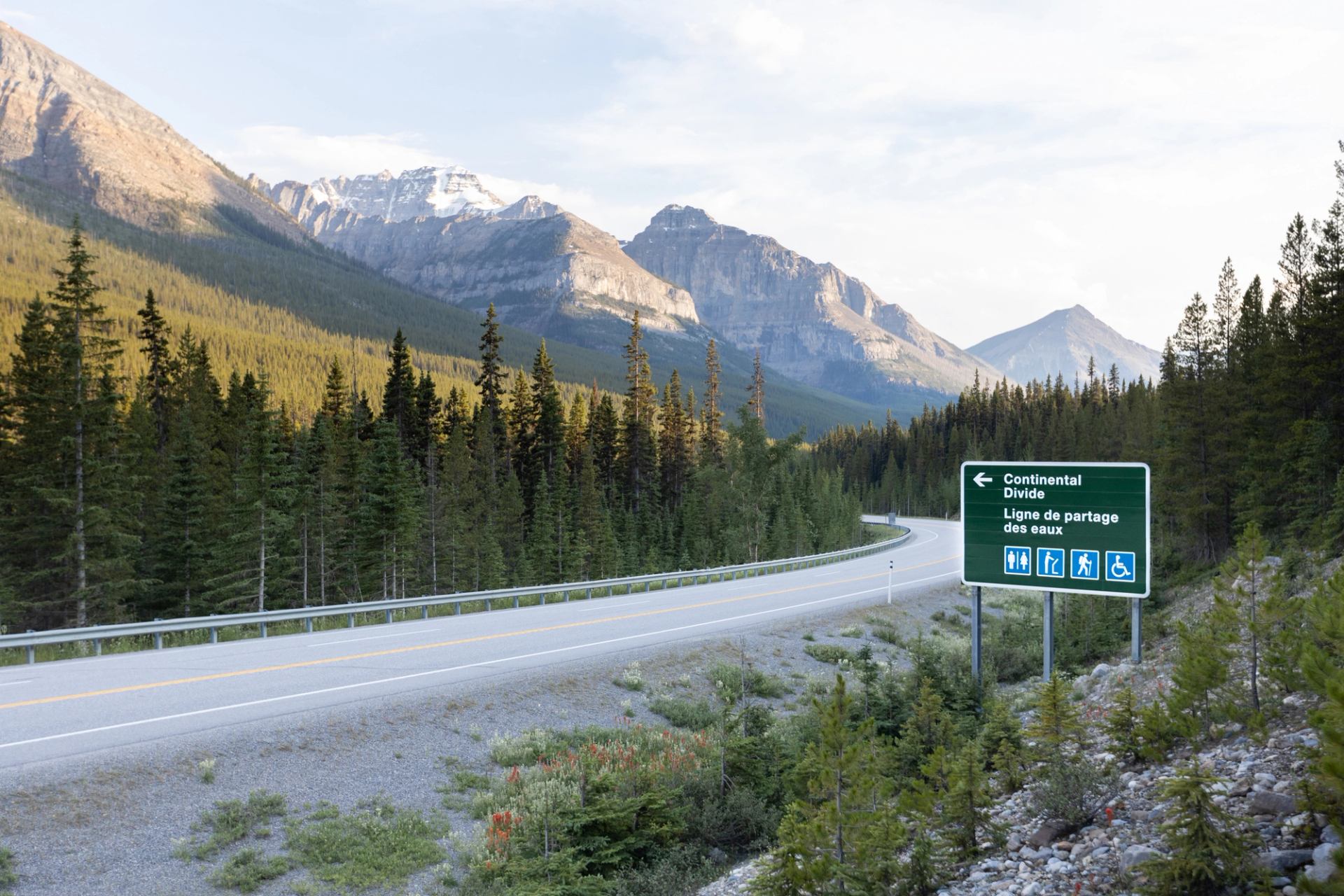
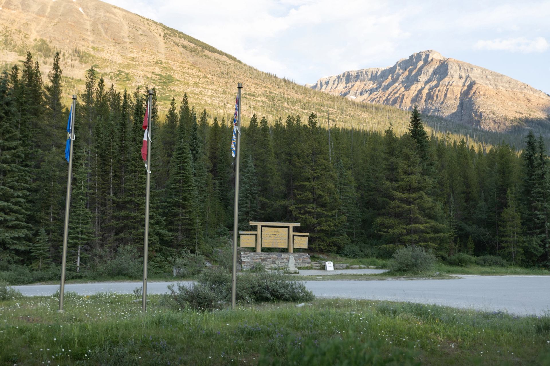
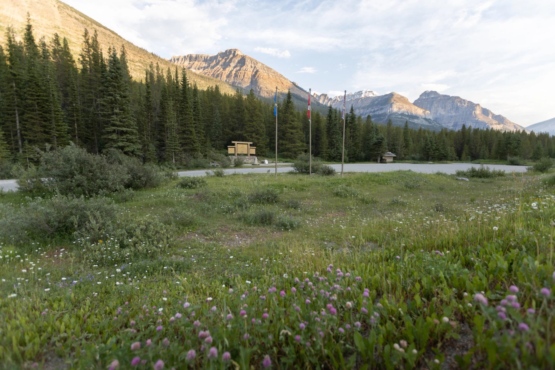
This spot makes it easy to multi-task. Here, you can stand in two Canadian provinces at the same time. You can also be amazed while taking pictures and soaking up the scenery. The Continental Divide separates two watersheds. All the water on its western slopes flows to the Pacific Ocean; everything on the eastern slopes makes its way to the Atlantic Ocean. It also forms part of the boundary between B.C. and Alberta and separates Banff National Park and Kootenay National Park (talk about multi-tasking). The Fireweed Loops give visitors a chance to stretch their legs. The two trails are easy hikes. The shorter one is 0.5 km (0.3 mi) and includes interpretive signs explaining how the forest regenerated after a wildfire in 1968. The longer loop is 2 km (1.2 mi). Those looking for a more strenuous hike will find plenty of other trails in the area.
More


