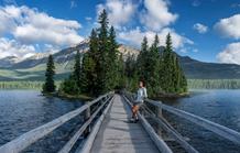
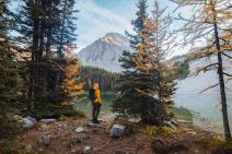

6 min read 9 of the Most Unusual Places to Stay in Canada are in Alberta
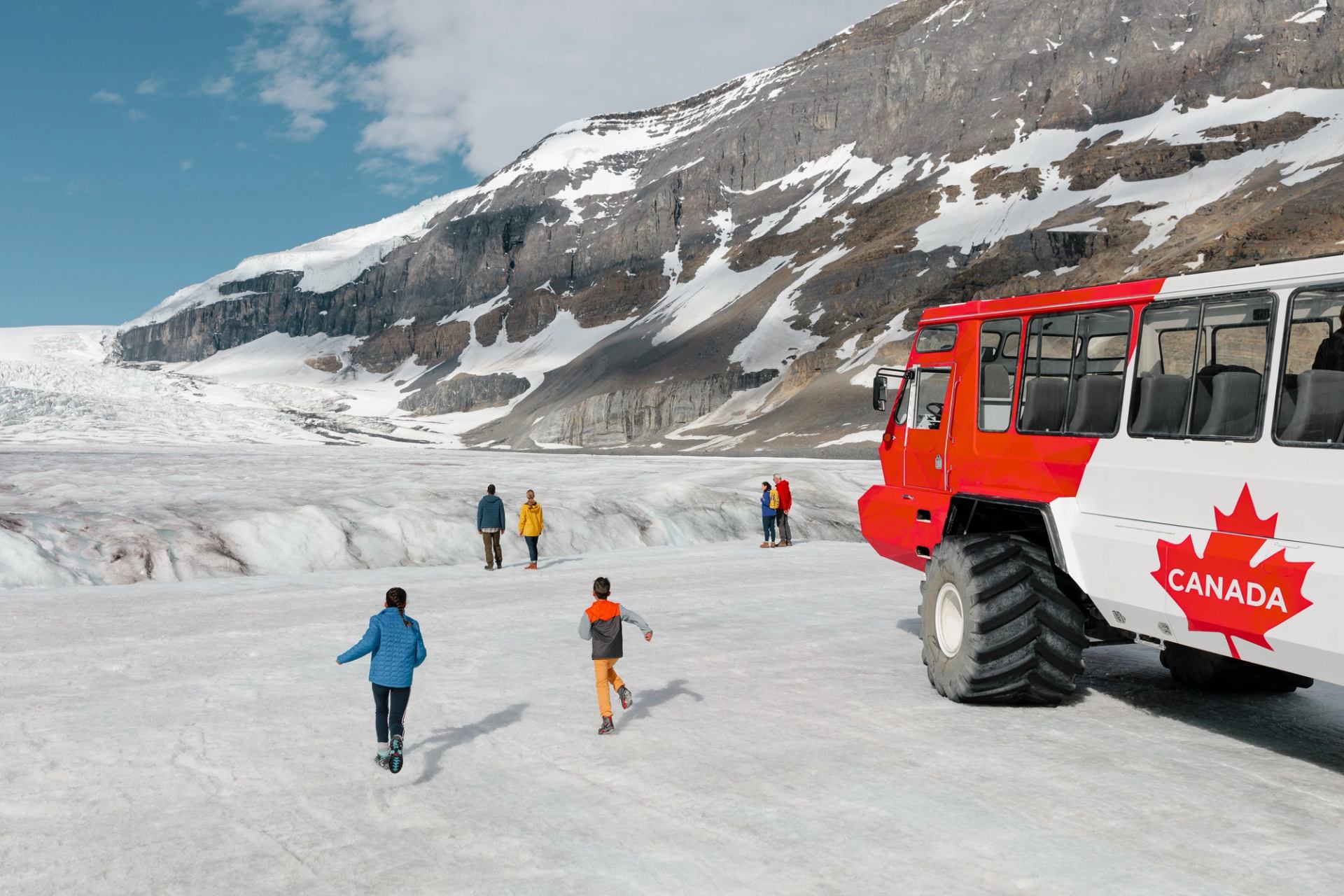
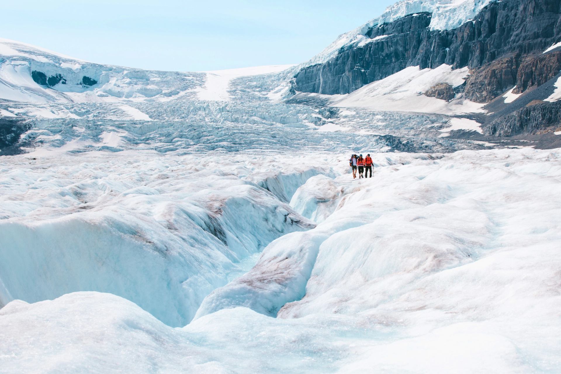
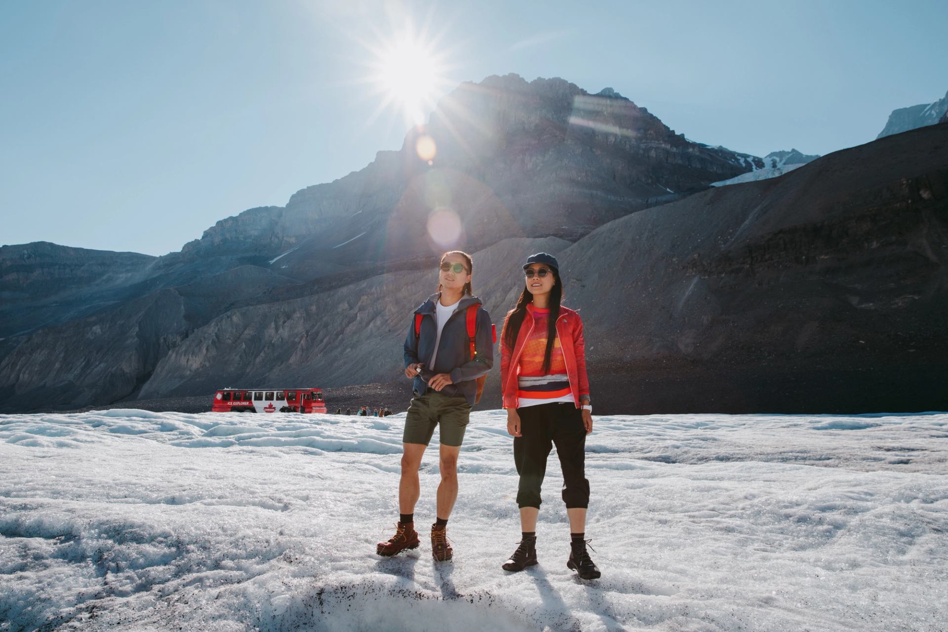
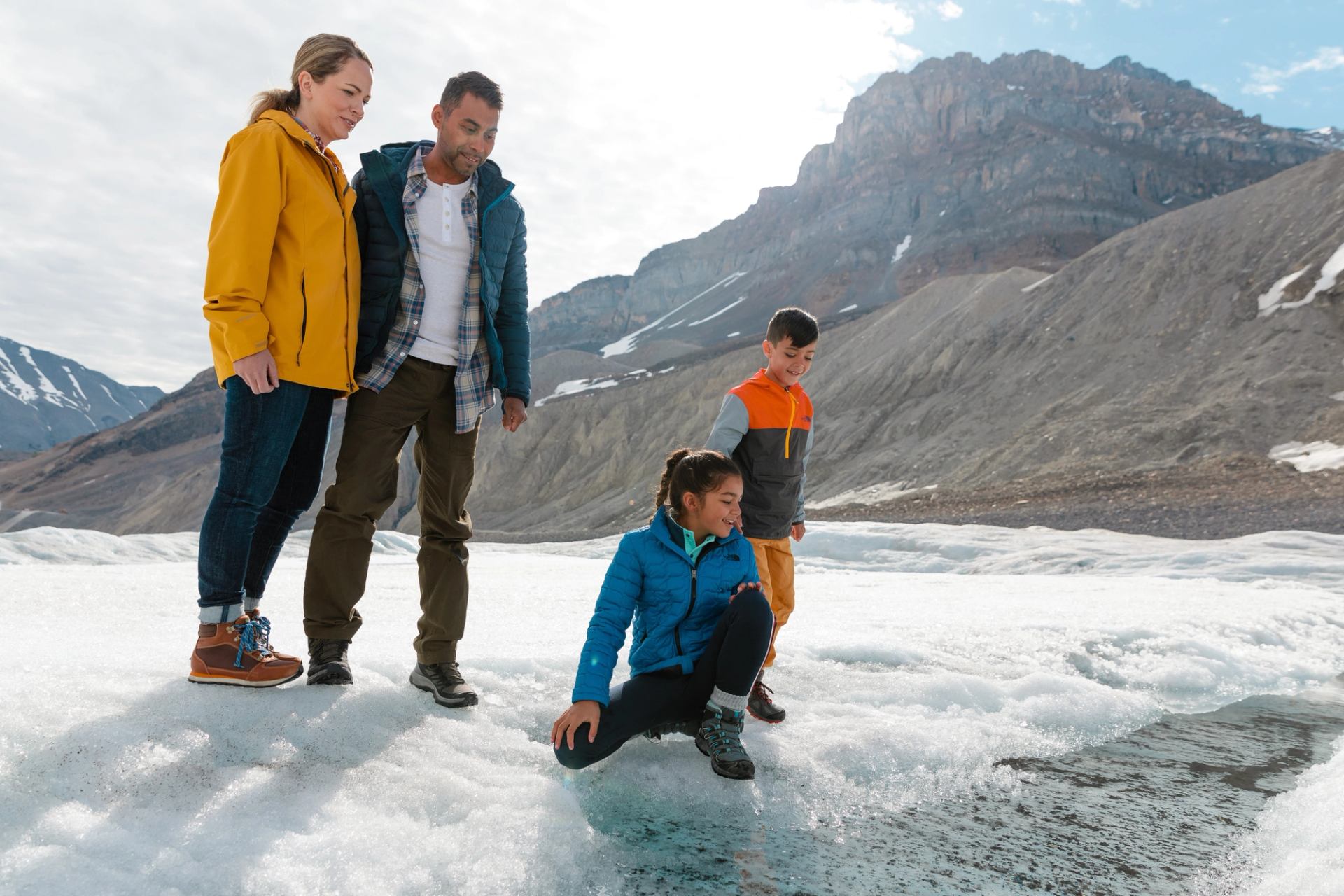

Glaciers are in constant motion. Visitors to the Columbia Icefield, on the other hand, tend to stand in one spot and take it all in. Once visitors absorb the scale of the place, they find lots to take in and plenty of information to help them appreciate the largest icefield in the Canadian Rockies. The Columbia Icefield is draped over the Continental Divide on a high alpine plateau. It covers about 230 sq km (89 sq mi) and is approximately 28 km (17 mi) long. The area receives 7 m (23 ft) of snowfall each year. That snowfall adds to the thickness of the ice, which is at about 365 m (1,200 ft). The Athabasca Glacier sits across from the Icefield Centre and is the most-visited glacier in North America. The centre offers more information about glaciers and how they form. You’ll find it all just 100 km (62 mi) from Jasper and 130 km (80 mi) from Lake Louise.
More