
Everything you need to know about getting around Alberta.
Check out our tips for taking public transit, booking car rentals and finding ways to get around Alberta without a car. Discover bus routes between cities, cycling routes, road maps and multiple shuttle options throughout the province.
Transportation
Alberta is a province in western Canada. It is located between British Columbia and Saskatchewan, and Montana is its closest US neighbour. Visit the links below to learn more about ways to travel throughout the province.
Car Rentals
You'll find major car rental companies at all three of Alberta's international airports and at locations within each city.
Taxis
Sit back and relax while someone else drives. Taxis are available in Alberta cities, including at all three international airports.
Bus Routes
Inter-city buses are a convenient way to explore Alberta, from Calgary or Edmonton to Jasper and Banff, or to Drumheller and rural towns. Use Roam Transit in Banff. Calgary and Edmonton have local bus and train systems.
Ridesharing
Uber is a popular and affordable transportation option in cities like Calgary, Edmonton, Fort McMurray and Red Deer.
Rail
Take in the incredible scenery of Alberta’s landscapes with a relaxing rail journey. Enjoy onboard service, delicious cuisine and unmatched beauty as you travel along a scenic rail route.
Alberta's rail options are focused on scenic tours, not getting from A to B. Choose a bus route to travel directly between sites.
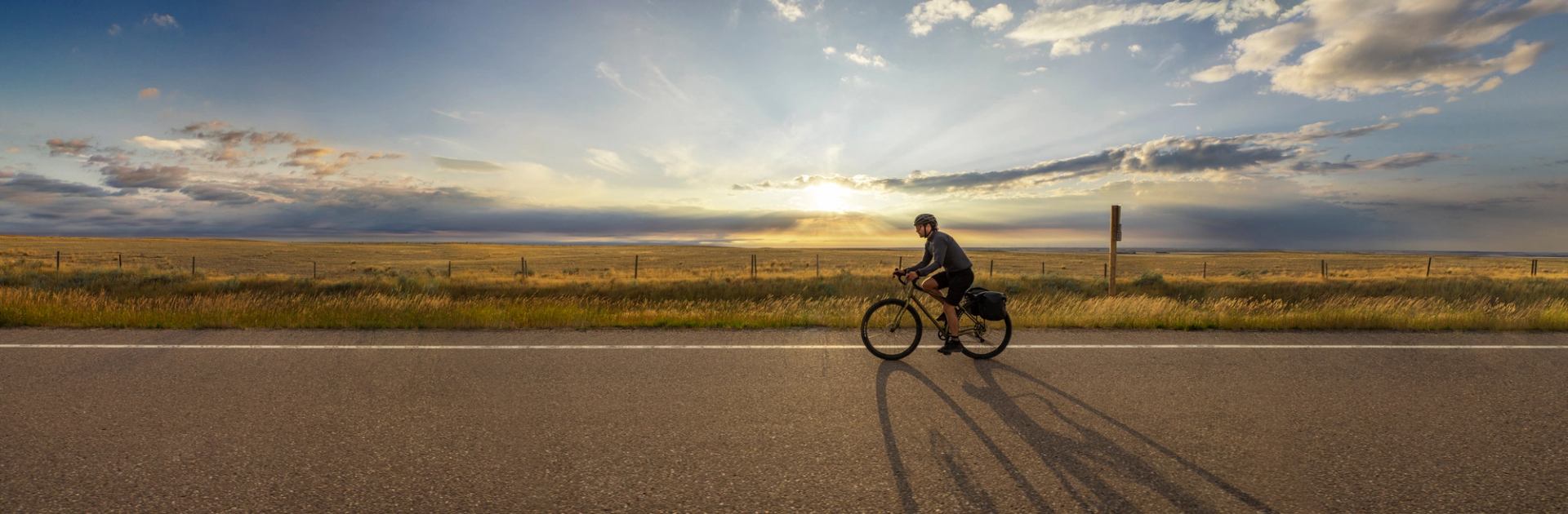
Transportation in Alberta
Maps
Interactive Map
Get to know Alberta by exploring our map of all the things to do, places to go and experiences you can have here.
Road Maps
Fuel up the car and hit the open road. Locals often use Google Maps or Apple Maps on their phones to navigate within cities, in the mountains and across the prairies.
Cycling Routes
There are seemingly endless routes to explore if you opt to hop on a bike and travel on two wheels.
Transportation inspiration


