4 min read Five Places to Get Back to the Old West in Alberta’s Ranch Country
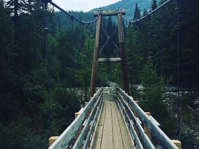
For the most current information on trail closures and advisories, please visit the Alberta Parks website. This moderately difficult, 15 km hike follows Galatea Creek, crossing 11 different bridges (including seven bridges over the Kananaskis River) to Galatea Lakes, which offer spectacular views of an alpine valley. You’ll find the well-signed trailhead on Highway 40, approximately 5 km/3 mi from the Kananaskis Golf Courses. The trail is generally closed in May and June to allow the area to dry and prevent damage to the trail. During the winter months, the trail passes through several avalanche paths. Hikers should exercise extreme caution and check avalanche forecasts before heading out. Distance: 15 km / 9.32 mi / Return Elevation: 610 m / 2,000 ft
More